Days 81-88| km 2184-2389| The Rakaia, The Rangitata & ‘mess’opotamia
Following the cyclone, I felt this section was a little tricky to go it alone since I didn’t know how it would affect the rivers. Let me introduce to you my new trail buddies, Jules and John. Jules is a German Aussie mathematician and John an American artist. Jules and I had actually met weeks ago in the Richmond Ranges and then again on the Goat Pass so it was lovely to get to know her further. This trail is amazing in terms of how you end up crossing paths with familiar faces over and over again. Everyone walks their own walk; some people choose to hitch dangerous road sections, some take side trips, some never rest, some always rest, some are puritans and walk every single step. This provides the beauty in trail friends coming and going and the joy of arriving at a hut after a long day alone only to find familiar faces welcoming you inside.
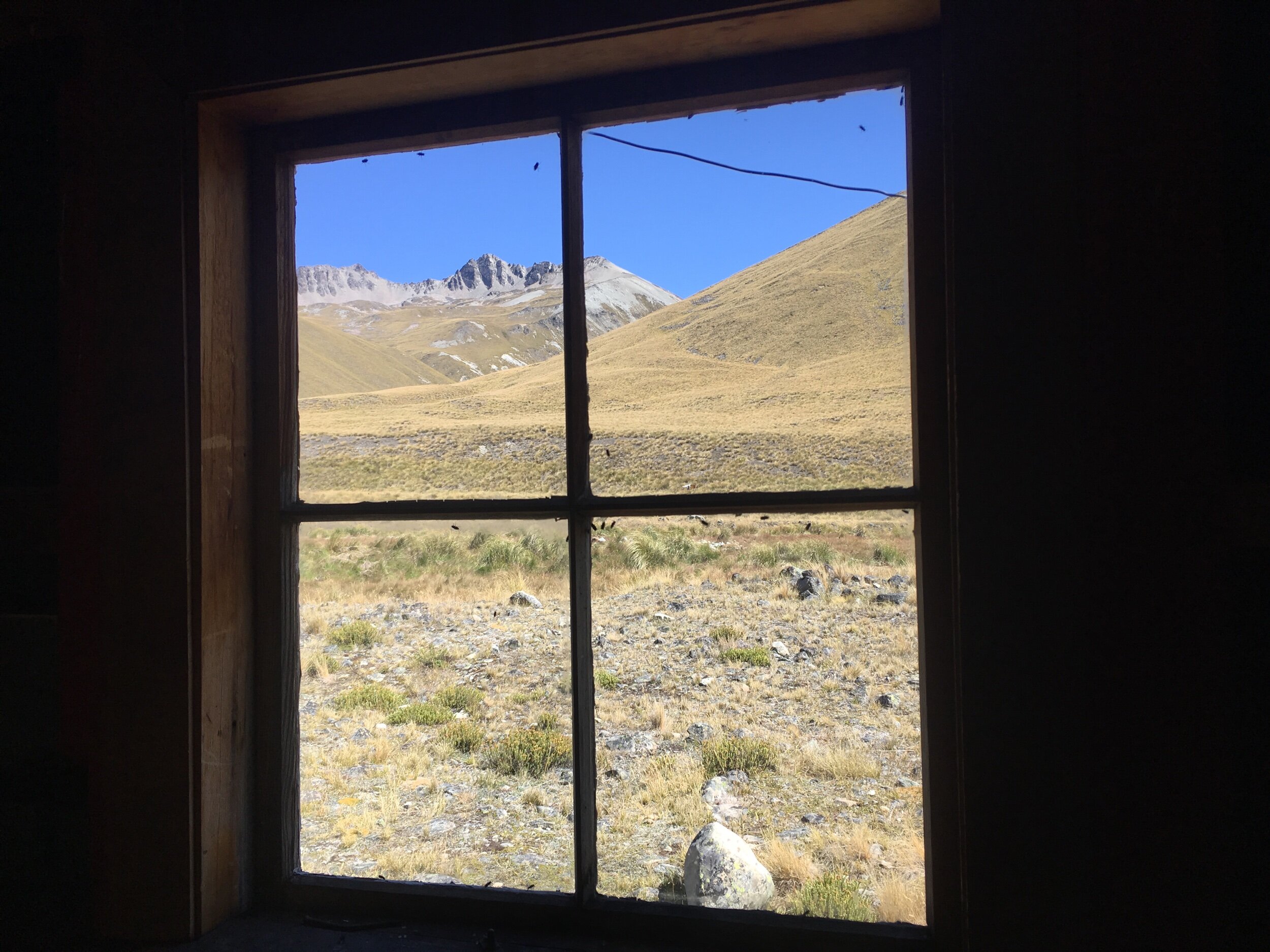
Back on trail after my whirlwind Christchurch visit, Bealey Hut was was my first nights stop. This was a much older hut than the one pictured above. We all know to hang our food at night in dry bags to avoid our supplies getting nibbled on by mice, however I was awake nearly all night with mice fighting and eating the roof insulation less than 1/2 a meter from my head on the top bunk. I couldn’t wait for dawn to break that following morning and my coffee to brew nice and strong in order to kick me into action. Darn those little scavengers!
The Rakaia and Rangitata Rivers are both large braided rivers with clear instructions given to all TA hikers not to attempt crossing them. Officially the trail ends on the northern side of each and begins on the southern with advice given to prearrange transportation out or hitch. On route to the settlement of Lake Coleridge on the banks of the Rakaia, Jules, John and I were lucky in that two huge trucks pulled over. We could barely see them through their giant gravel dust clouds but we were given the OK to hop aboard. We clambered up the ladders hauling our packs one at a time into the cab, destination - Methven. Given we had not had fresh food for a while we went to town on home made burgers and salad for dinner and a royal breakfast of scrambled eggs and smashed avo on toast. ‘Yum’bro’!
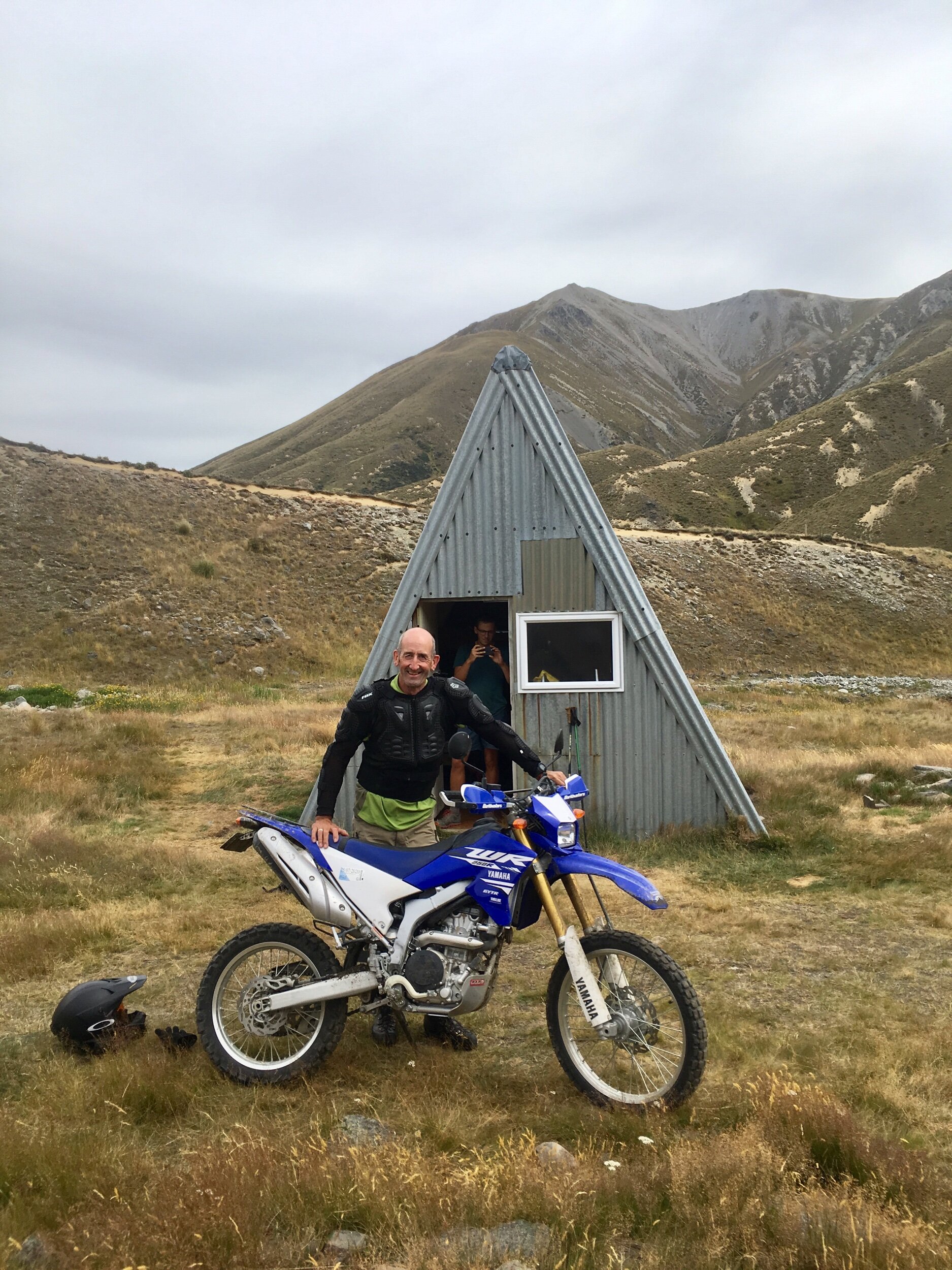
The following day (slightly hazy headed from a glass of red wine or two the night before - I have totally lost any tolerance I had for alcohol!) we began again on the southern side. We hadn’t got very far before meeting Geoff, the coolest DOC (Department of Conservation) ranger around. He rocked up on his dirt bike to check the hut and switch out the intentions book for a new one, a job he performs once every four years so we were super lucky to meet him and have the honour of being first in writing our names in the new book!
The following day it rained… all the way up to Client Hills Saddle.
Alas the sun shone down on the beautiful yellow, green Canterbury planes by the afternoon…
After a low lying cloudy start to the morning the clouds lifted for a beautiful view across Maori Lakes and then the rain set in again for the afternoon’s hike through what I have been told was Lord of the Rings terrain.
The second round river transport got a little more complicated and proved to be mentally fatiguing. We had all booked a shuttle to leave at 5pm from Mt Potts carpark. We were soaked and cold from the constant rain so by the time we began trickling into the parking lot we independently sought refuge under the road bridge. There we found one another and sat about chatting to take our mind off our chattering teeth whilst we waited, and waited….and waited. Nearly an hour had passed after the designated pick up time and without signal we couldn’t phone our ride. I took the initiative to text our transport from my Garmin InReach as luckily it can send messages even without cell reception -imagine texting from an old Nokia 3210 mobile - slow and painful, amplified by shaking hands. I told our gang of 6 that if I hadn’t got a reply in 10mins making it then 6pm we were walking 3km to Mt Potts Lodge and seeking further help there. On route to the lodge I received a message back - our transport had been and gone. Totally confused as to how that happened we requested it came back for us that night…and at 7:30pm we eventually get our ride. To cut a long story short they had turned up at 430pm, thinking they had everyone they had then left. We didn’t start coming out from under the bridge to check for transport until 445 seeing as our arranged pick up was 5pm. Blame was laid back and forth and an awkwardly silent trip made to Geraldine. Having confirmed the same transport transfer the next morning we were ditched 10mins after we were meant to leave. Lame. This kicked off a Geraldine-wide search for finding someone to drive 6 of us the 1.5hours to Mesopotamia to re-start the trail. Hence the title name ‘Mess’opotamia’. Success! We even got a mini church tour on route. We eventually arrived at 3:30pm, but chuffed with ourselves that we hadn’t given up trying!
Speaking of church’s, it was that evening I was christened with my trail name - ‘Cheetah’. Not because I’ve been cheating, on the contrary infact. Actually the name arose from the Vitaligo (lack of pigment) I have below my knees and on my feet. It’s bright white spots / splodges which contrast with my now very tanned/dirty(!) skin which resembles the pattern of a Cheetah’s skin. Alongside the fact that I can be fast on the trail when I want to be…so, the name Cheetah arose!
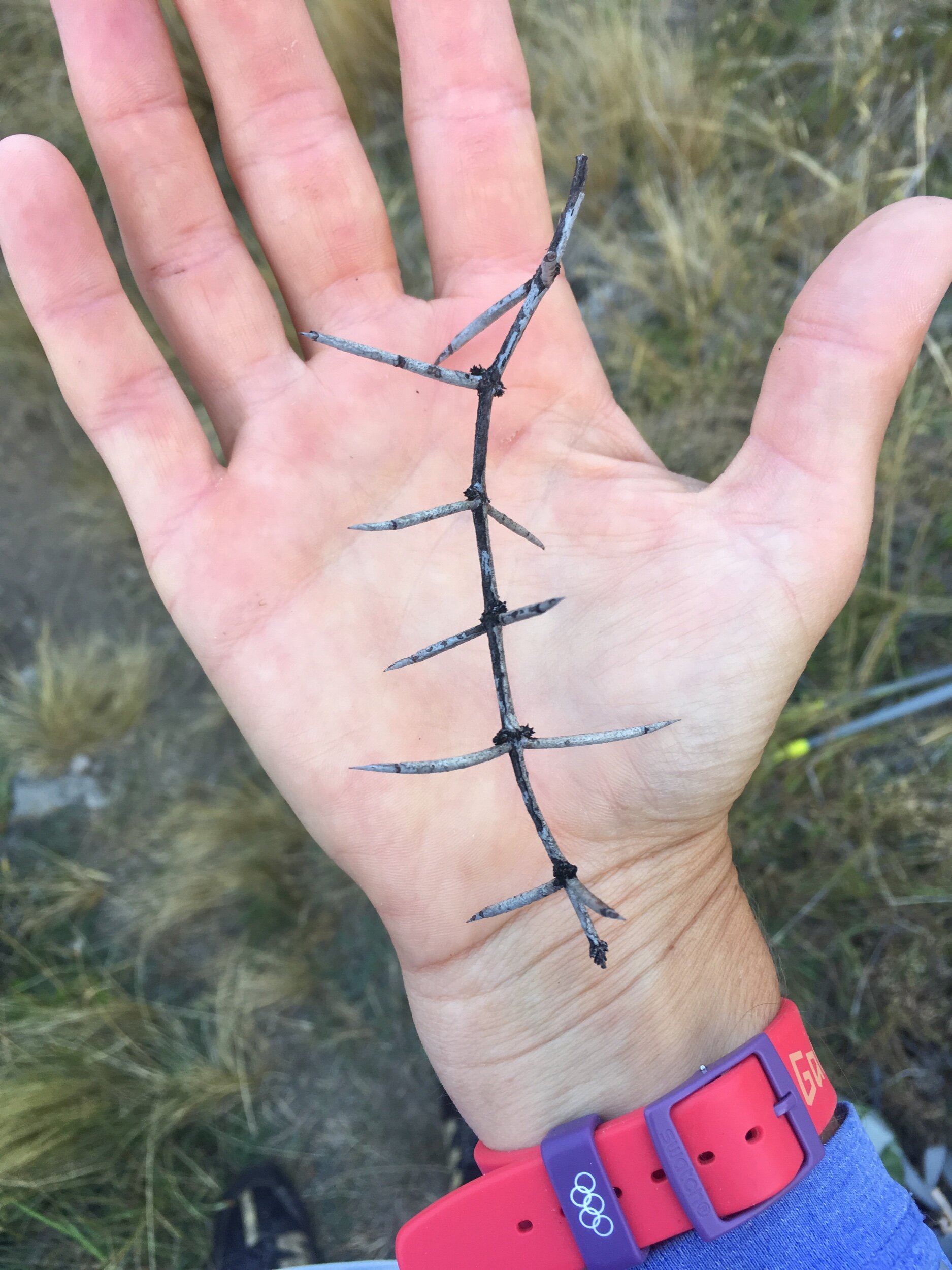
There’s lots of things out there that try and slow you down though… for instance, cutty grass that’s as sharp as a blade and would pierce your skin if you fell on it (bottom left) and thorns nearly the size of fingers (bottom right). My legs constantly have scratch marks and scabs all over them!
Stag Saddle is the highest point of the Te Araroa trail at 1925m. In order to make up for lost time from the transport fiasco I pushed for a big day on the Two Thumb Track as I also wanted to climb to the top of Beuzenburg Peak for stunning views of Mt Cook & Lake Tekapo. I left Crooked Creek Hut at dawn and headed further into the mountains. Royal Hut made a great lunch stop, named after Prince Charles and Princess Anne stayed there as children. Definitely a royal hut when you find tomato sauce sitting on a shelf!
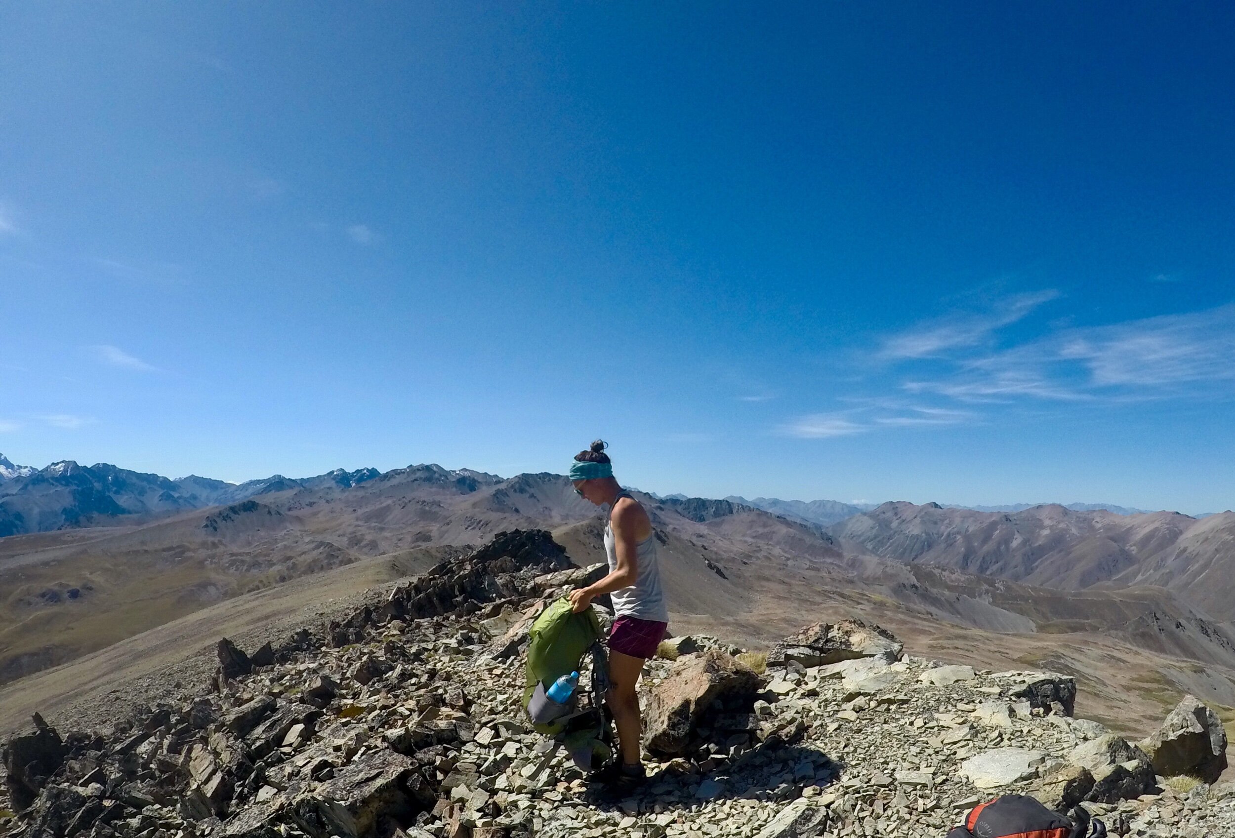
The views from Beuzenburg Peak were incredible. To see Aoraki / Mt Cook soaring snow capped and proud above the other mountains was both inspiring and beautiful all in the same breath. Aoraki / Mt Cook is New Zealand’s highest mountain at 3754m. “Aoraki” means cloud piercer and represents the most sacred of ancestors to the Ngāi Tahu iwi, connecting the natural world to the supernatural. Learn more about the Maori meaning here.
Lake Tekapo
On my final night before descending into Tekapo I saw the most beautiful star lit sky. Even the Milky Way looked as though it was climbing toward Aoraki / Mt Cook. Upon reaching Lake Tekapo the following day I was met with two familiar faces from Northland, Ed I’d met on my first day on 90 mile beach and Rhys I’d hiked with for a good chunk north of Whangarei. This obviously meant beer-o-clock to catch up on trial gossip!


